
nepali citizen
foreigner
| Trek Name: | Khopra Danda Trek |
| Best Season: | March - June, Sept - Dec |
| Transportation: | Bus/Private Jeep |
| Accommodation: | Tea House & Guest House Twin Sharing Basis |
| Grade: | Medium |
| Highest Point: | 4660m |
| Duration: | 08 Days / 07 Nights |
| Group Size: | Min. 4 to Max. 15 Person |
| Attraction: | Less traveled path, View of Annapurna Patha, Lakes, Remote Cultural Trail |
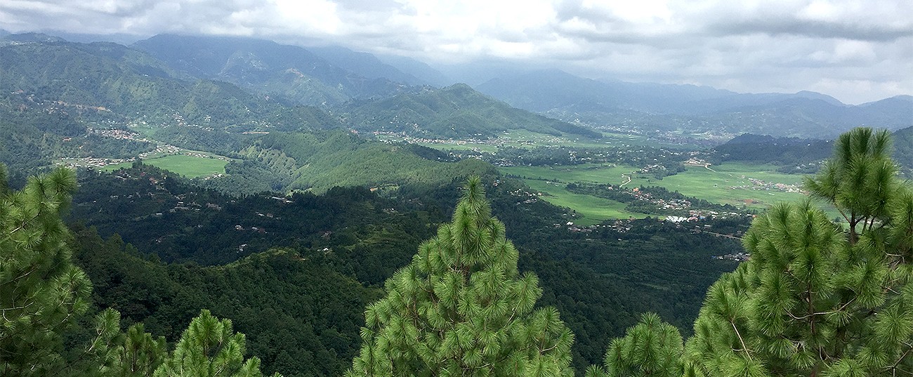
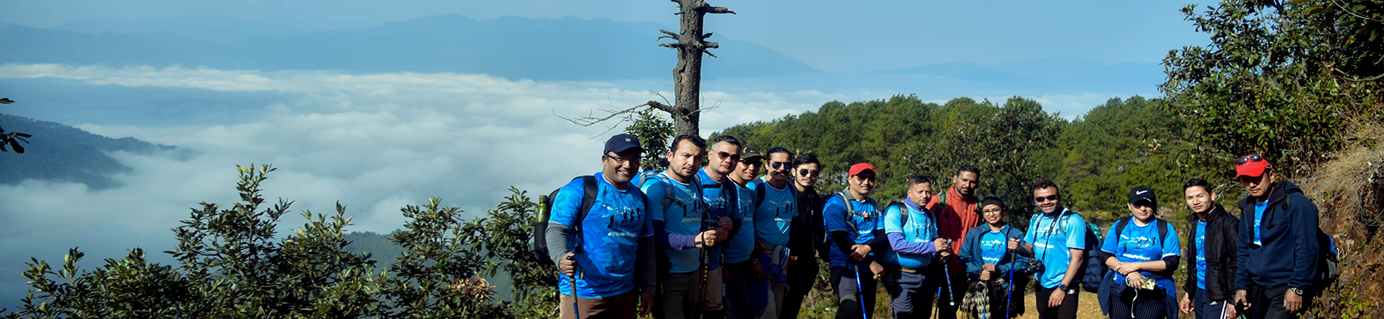
The Khopra Danda trek is also pronounced as Khopra Ridge Trek and is absolutely lavashing and stunning trek in terms of beauty. The Annapurna Region is famous among Asian countries and for the people of Nepal. Beside Ghorepani, Mohare Danda it is a terrific blended ridge trail which is agreeably less crowded.
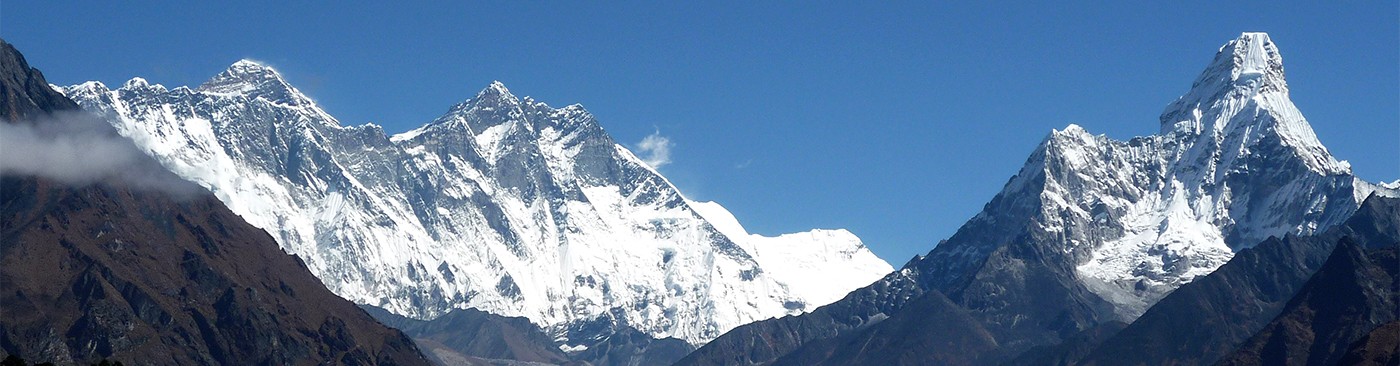
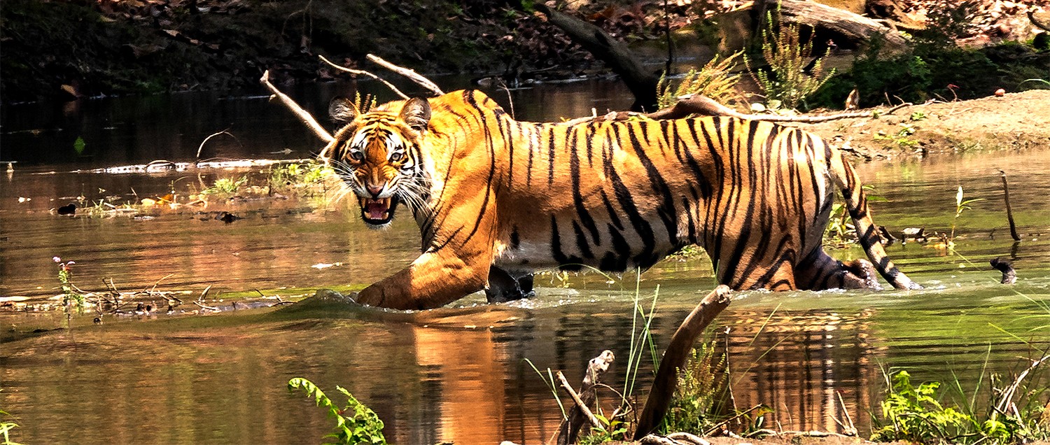
The highest elevation on the trek will be 4,660 meters above the sea level which is Khayer Lake whereas the starting altitude will be 1,030 meters. This extended trek route touches two districts Kaski & Myagdi and is also one of the most visited among protected areas of Nepal so you can expect wildlife too! The trek is commonly known as a community based trek, you will experience staying in local communities homes rather than local lodges. This trek blends to the mountains of Western Nepal such as Annapurna South(7,219 mt/23,684ft), Machapuchare (6,993 mt/22,943 ft), Dhaulagiri(8,167 mt/26,795ft), Mardi Himal(5,587 mt/18,330 ft) the Annapurna Mountains Ranges consisting a walk in the high altitude. River, several hilltops, gorges, dense forest elongates the path while the astounded Magar Culture and diversity of the region have startled trekkers and bring close to the lifestyle of the indegenious people.
Highlights of Khopra Trek.
Day 01 : Kathmandu(1,400 meters) to Tikhedhunga (1,488 meters) 9 hours drive
Day 02: Tikhedhunga(1,488 meters) to Ghorepani (2,875 meters) - 4/5 hours
Day 03: Hike to Poon Hill (3,210 meters) and trek to Upper Chistibung (3,000 meters) - 6 hours
Day 04: Upper Chistibung to Khopra Danda (3,640 meters) - 6 hours
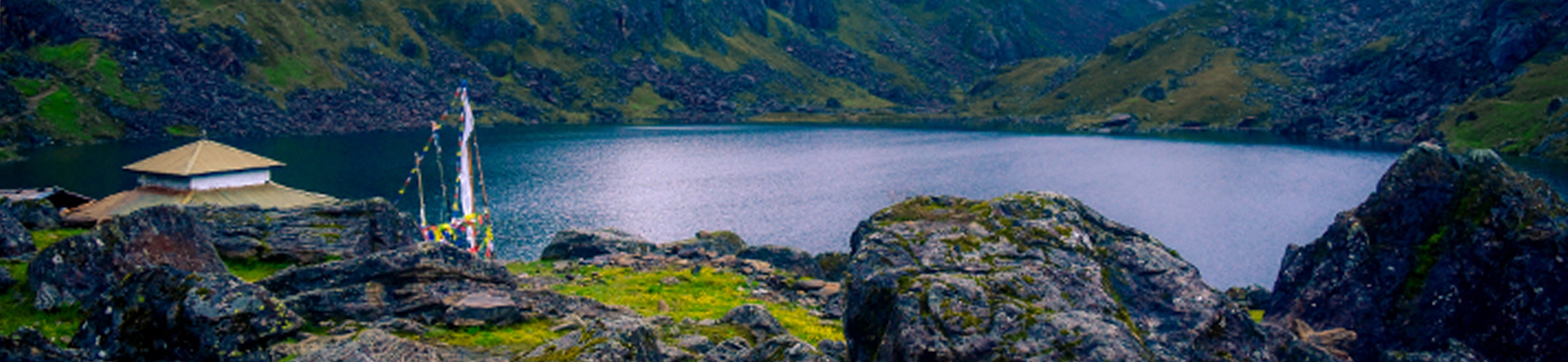
Day 05: Exploring Khayer Lake (4,660 meters) and surrounding - 5 hours
Day 06: Trek from Khopra to Tatopani(1,250 meters)
Day 07: Tatopani to Pokhara/Kathmandu
Day 08: Pokhara to Kathmandu
Day 01 : Kathmandu(1,400 meters) to Tikhedhunga (1,488 meters) 9 hours drive
Before initiating any journey a resfeber feeling fills up the vacant space of a traveler questioning everything he/she saws. Well, after tackling through the traffic of Kalani & Thankot, you will find yourself setting off for an incredible lifetime experience.
We will be heading towards west of Kathmandu to Beni. It will take approximately 7-8 hours via Prithivi Highway. The two lane highway up to Mugling will be relatively congested however, after crossing Mugling the number of vehicles will be less. Nepal major tourist hub Pokhara lies just 200 kilometers, and the last stop for today will be Nayapol, Kaski.
We will take a jeep to Tikhedhunga which will take approximately half an hour. And for the very first night we will stay at Tikhedhunga.
Day 02: Tikhedhunga(1,488 meters) to Ghorepani (2,875 meters) - 4.5/5.5 hours
Tikhedhunga is a settlement on the bank of a river, sloppy hill, stone paved paths with amiable villagers is a frequent sight. Actually, the name of the place was kept because of the rocks that can be found in this specific area.
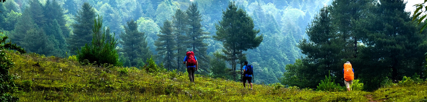
After breakfast, we will head towards our destination. The path for the initial phase will be through the bank of the river which is slightly easier. Later crossing Tikhedhunga suspension bridge, we will come across steep uphill also called ́Ulleri ko Ukali ́ which will be for an hour. After crossing Ulleri the terrain will be comparatively easier than earlier. Then the path will follow through the dense jungle of Ulleri to the mesmerising hilltop stop Ghorepani Bazar.
The total duration of the walk will be approximately 5 hours. You must be cautious from the mules that will pass frequently on the way. However, you will enjoy the walk to the fullest.
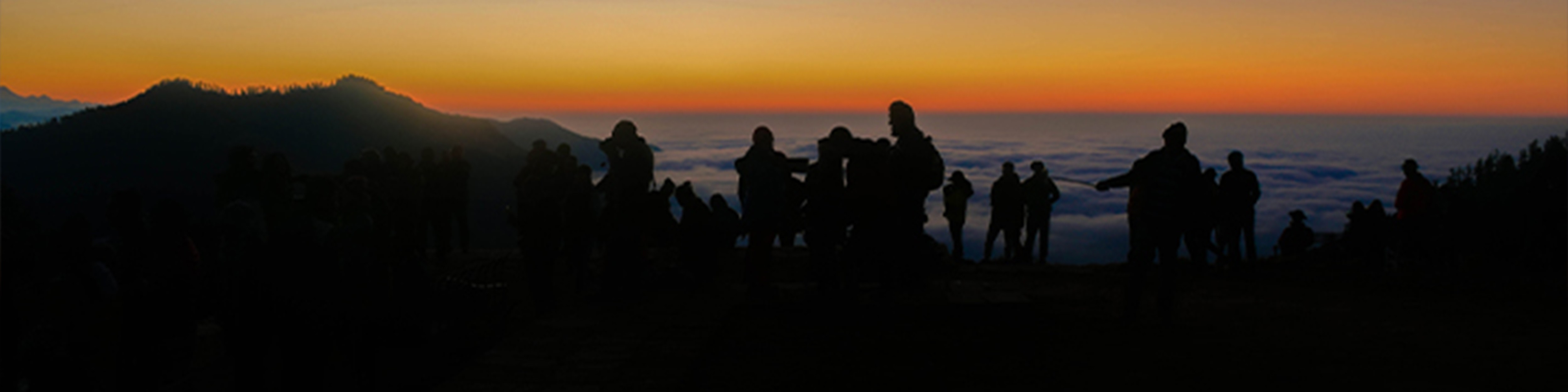
Day 03: Hike to Poon Hill (3,210 meters) and trek to Upper Chistibung (3,000 meters) - 6 hours
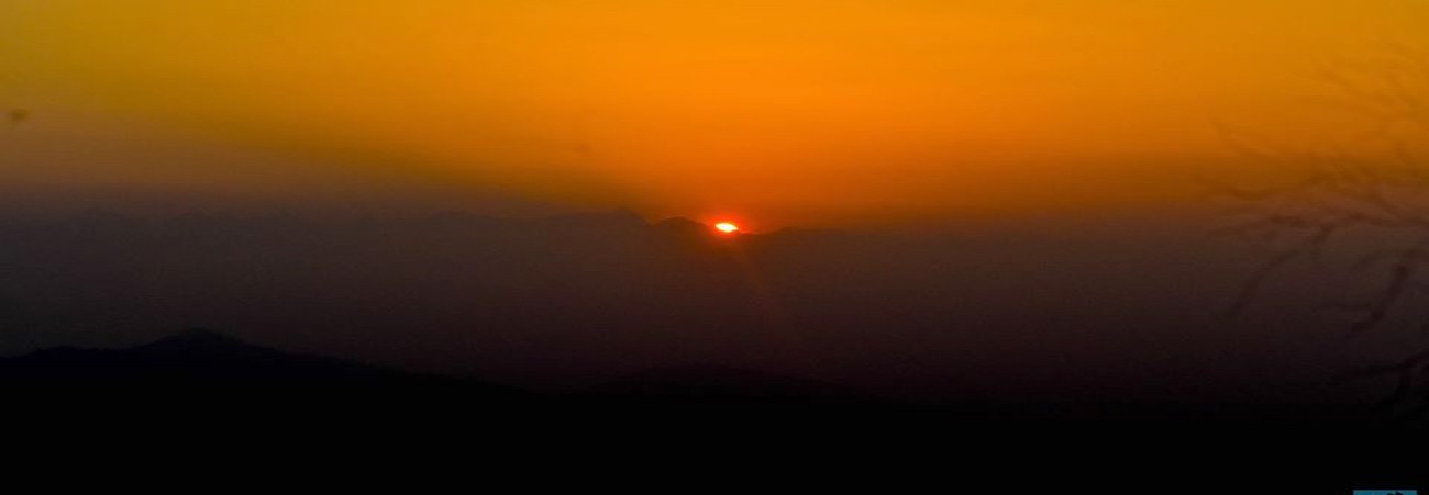
Our walk to Poon Hill starts before the dawn, we do not want to miss the rays kissing on the pinnacle of the snowy mountains, right?
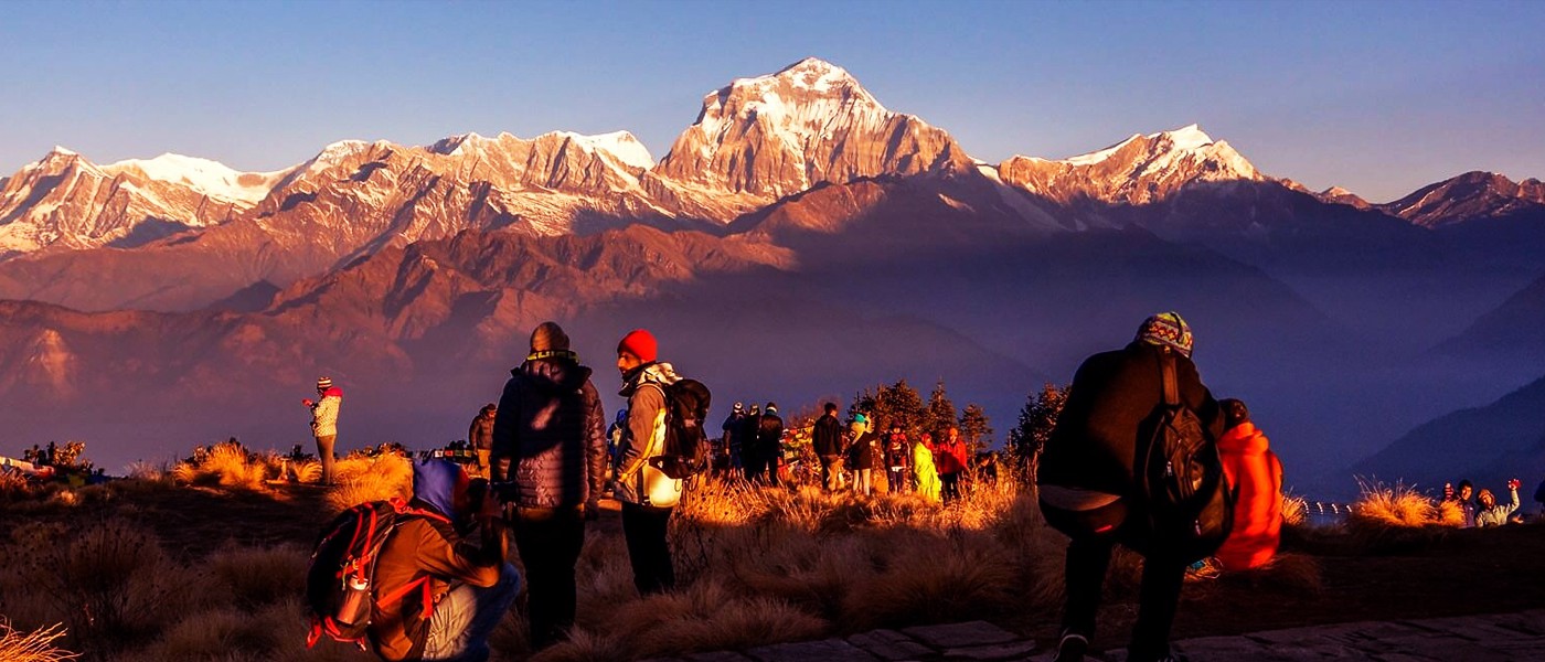
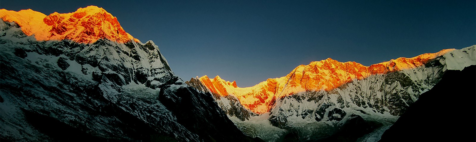
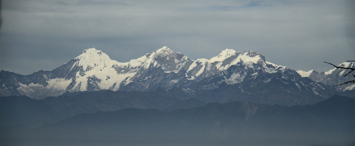
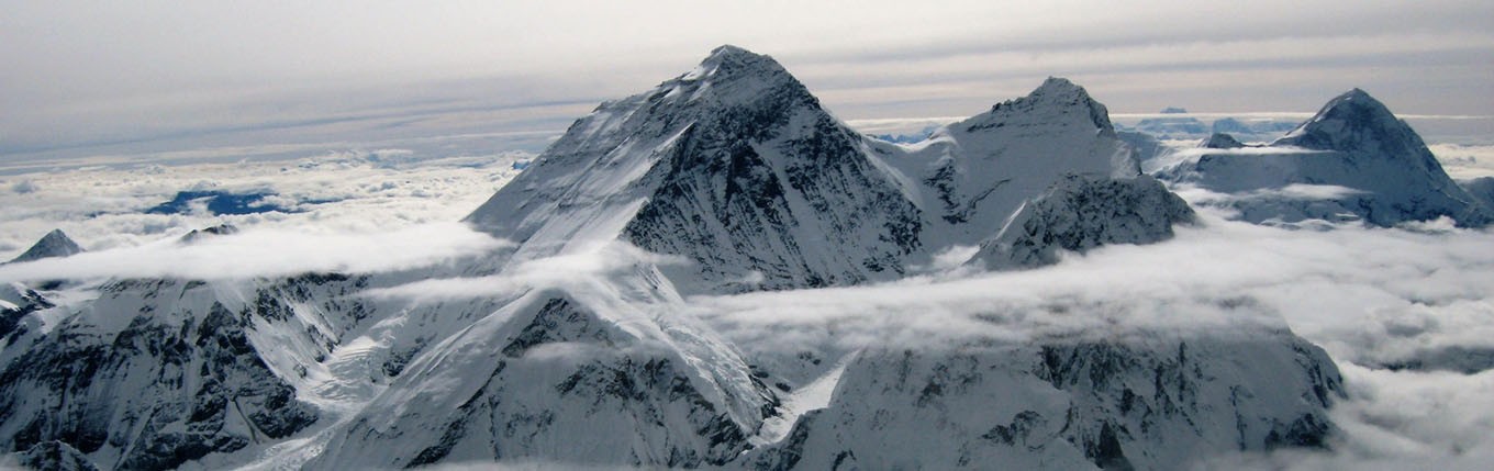
Yeah, we will leave the hotel and head towards Poon Hill for the sunrise. It will take more or less 45 minutes. The glimpse of the mountains will leave you speechless as the Annapurna Ranges (South 7,219 mt/23,684 ft) Machapuchare(6,993 mt/22,943ft)and Dhaulagiri(8,167 mt/ 26,7945 ft) will be just in front of your eyes. You will be amazed by seeing the crowd of people gathering there to see the mystical white mountains.
Then, we will head back to the hotel for breakfast and head towards Chistibung. Hey! You know what? Today ́s trek will take place in another district, Ghorepani is also the border for Myagdi and Kaski district.
So the path will involve both uphill and downhill. The green deciduous forest of mid hilly area will be providing you fresh and natural air. Total walk will only be 6 hours. And today we will settle down at Chistibung.
Day 04: Upper Chistibung to Khopra Danda (3,640 meters) - 6 hours
Chistibung faces towards South, as you will be able to see that path that you marched a day earlier. After breakfast, we will head towards Khopra. The path will be uphill and a bit strenuous and we insist trekker to carry enough water to keep themselves hydrated.
This day we will ascend above the tree line and as we climb higher the trees get puny to acclimatize to the weather. After 6 hours walk through the sparse forest we will reached at Khopra Danda. Reaching there earlier will provide us the privilege to witness the exoctic dusk from the Mid-Western part of Nepal.
Those who are night gazer will admire this place immensely. Open sky and the twinkling stars above will definitely be the sight one can cherish for life long.
Day 05: Exploring Khayer Lake (4,660 meters) and surrounding - 5 hours
The horizon and the golden light that enters the atmosphere has its soothing effects in every creature on Earth.
Sunrise through the crest is one of the astonishing things to witness on each journey. Today will be exploring the Khayer Lake which is elevated at 4,660 meters above sea level. We will need to walk and gain almost 1,000 meters. Walking in the altitude get tough due to oxygen level present in the atmosphere however, slow and steady walk we will reach there spend few time and come back at the hotel.
We will be walking for propinquity 5 hours today. Your oxygen level and saturation level will be measured in daily basic. Later you can sit by the central heating inside the dinning or get cosy inside the blanket too!
Day 06: Trek from Khopra to Tatopani(1,250 meters)
In literal sense “Tato” means Hot and “Pani” means water in Nepali. So today's walk will be towards the bank of the river.
We are almost at the end of our trek. Mostly, the path will be downhill and one must be attentive and watch their steps.
The alpine forest will provide you shade and a few villages on the way will make strolling interesting. We will plunge rapidly towards the base. As the walk from the hilltop will come to an end on the shore of the Kali Gandaki River, it might takes us 6-7 hours.
After arriving at the Tatopani you can dive into the Natural hot spring and flee your days tiredness. Until yesterday gust of wind was acting as lullaby but today it will be whistling sound of the river.
Day 07: Tatopani to Pokhara/Kathmandu
It is 99 kilometres from Tatopani, Myagdi to Pokhara whereas the duration of the travel will be 3.5 hours. After reaching Pokhara you can freshen up and roam around in the Nepal Tourist Hub. The day is yours to explore.
If you are in a rush and want to take a flight then that can also be arranged.
Day 07: Pokhara to Kathmandu
We will leave Pokhara around 7 am in the Tourist Bus. The distance is 200 kilometres and will take approximately 7 hours.
How tough is Khopra Trek ?
Khopra Trek is listed on the moderate trek. The highest elevation reached on this specific trek will be 4,600 meters. It will get strenuous in some section however, according to the data organised by trekking companies, it is 99.9% successful.
What kind of Tea houses/lodge are available on this trek?
Actually, this trek is mostly pronounced community based trek as the hotel are mostly run by the local communities however, until Ghorepani most of the accommodations are hotel system. The staying places of the treks is well managed and one can desire for attached room until Ghorepani if they want to.
Is there a risk of Altitude Sickness?
Yes, on the day to Khopra we will cross the tree line and the density of oxygen falls down although with preparation most of have accomplished the trek.
Is it a conservation area?
Yes, it falls under the area of Annapurna Conservation Area which was established in 1985. It is the largest protected area of Nepal and extends in five districts Myagdi, Kaski, Manang, Mustang and Lamjung.
Which mountains are visible from Poonhill and Khopra Danda?
Basically, the mountains visible for both spots are the same as we move higher it seems more close. The mountains that are visible are Annapurna Ranges (South 7,219 mt/23,684 ft) Machapuchare(6,993 mt/22,943ft)and Dhaulagiri(8,167 mt/ 26,7945 ft).
Which ethnic groups are found in this region?
Well, mostly mongolian are found in this region and to be more precise “Magars” have been the indigeneous habitants. Evenso, Gurung, Kshetri, Dalits and Thakali are found in a sprinkling manner.
What is the major occupation of the people?
Those who are able to open a hotel and local lodge are engaged in Hospitality and a certain number of people settled down to town in various sectors but a few families are into farming and cattle.
Is there a Natural Hot Spring in Tatopani, Myagdi?
Yes, there is a Natural Hot Spring water beside Kali Gandaki in Tatopani, this is the reason why it is pronounced “Tato” means Hot and “Pani” means water. You can take a plunge into it.
Does the famous Pilgrimage Temple Muktinath in the same place?
Tatopani is inside Myagdi district and Muktinath in Mustang (land behind the mountains). Tatopani is the way from one can go to Muktinath.
| trip name | days | price for nepalese | price (US $) for foreigner | |
|---|---|---|---|---|
Cyclings 100 M |
2 days | Rs 784 | $ 807 |
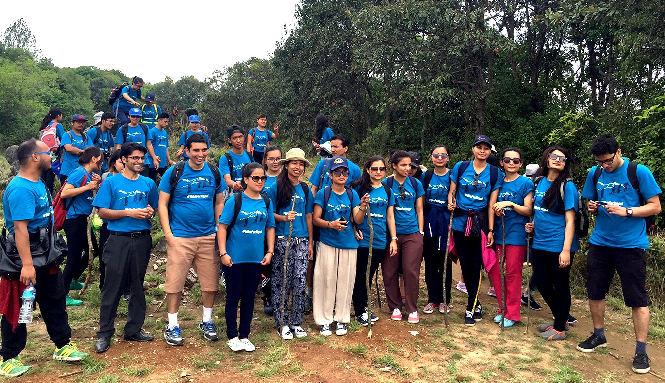
Start your adventure here with us!
nepali citizen
foreigner
| Trek Name: | Khopra Danda Trek |
| Best Season: | March - June, Sept - Dec |
| Transportation: | Bus/Private Jeep |
| Accommodation: | Tea House & Guest House Twin Sharing Basis |
| Grade: | Medium |
| Highest Point: | 4660m |
| Duration: | 08 Days / 07 Nights |
| Group Size: | Min. 4 to Max. 15 Person |
| Attraction: | Less traveled path, View of Annapurna Patha, Lakes, Remote Cultural Trail |


© Copyright 2020 Hike for Nepal. All rights reserved. Powered By : Nectar Digit